Ready for the Next Opportunity in Your Career? Email careers@pinnacle-engr.com
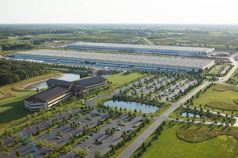
Supplement surveys and maps and support project progress with Visualization Models created with our UAV Drone Services. Pinnacle Engineering Group experts have FAA licensing to operate drones to capture accurate project imagery.
UAVs gather high-resolution images and aerial-based video of your project from all angles. Our trained staff then processes the images to generate near-survey-grade digital surface/site models, ortho-rectified imagery registered to project coordinates, and more.
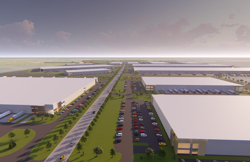
By using 3D modeling and immersive flythroughs, you can visualize the final outcome of your project. These Visualization Models help get projects approved faster and with greater public understanding.
Pinnacle Engineering Group’s Visualization Models include: